Teernakill South
Tacaíonn agus cuireann an Leabharlann go gníomhach le gníomhaíochtaí foghlama, teagaisc agus taighde na hOllscoile. Is i Leabharlann Ollscoil na Gaillimhe a gheobhaidh tú inspreagadh do do chuid iarrachtaí acadúla, áit a bhfuil eolas scolártha le haimsiú, le roinnt agus le foilsiú.
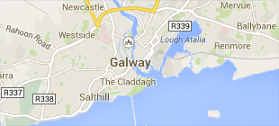
An Leabharlann
Ollscoil na Gaillimhe,
Bóthar na hOllscoile,
Gaillimh, Éire
T. +353 91 493399
© 2023 Ollscoil na Gaillimhe. Gach ceart ar cosaint.


